User Guide: Difference between revisions
| Line 51: | Line 51: | ||
==Map Panel== | ==Map Panel== | ||
===Map Area=== | |||
===Control Area=== | ===Control Area=== | ||
===Altitude Bands=== | ===Altitude Bands=== | ||
Revision as of 09:45, 11 March 2024
FANOMOS
In FANOMOS, data collected for flight data monitoring serve as a solid basis to analyse the impact of flight operations in environmental impact studies, for instance. These studies can be conducted for real-time as well as for historic data. For future scenarios, for which monitored data are not available, simulated flight data can be fed into the monitoring system to compare historic and future situations.
Flight tracks stored in FANOMOS can be accessed via:
- A web service access (REST API) for coupling flight data with your own information systems
- Graphical user interface
FANOMOS provides detailed in-depth insight to flight tracks to facilitate several goals:
- Impact studies such as environmental metrics
- Safety studies
- Flight Performance studies and trend analysis
- Facilitate information sharing
- Improvement of model input data
Interface Overview
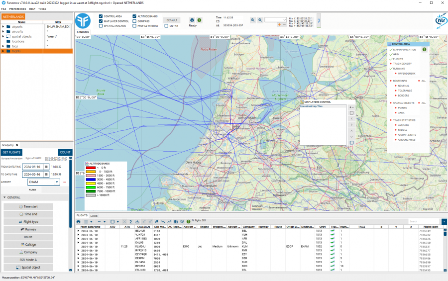
What you see (Screen Layout)
Application and Login info
The window title holds the application and login information.
Modify User Information
To edit the user data, select the menu option Modify User Information. In this window the user can edit personal information. Please note that this option is not available for Guest users.
Basic Operations
Menu
The file menu contains the Open menu folder, this contains all the dataset which are available to the user. For the normal user there is only one dataset available, but the system users will have more options. When a different dataset is choose the application is switched to that new dataset, please note that the map viewpoint isn't changed.
The last option is the Quit option.

